3 Unique Stops to See
There are 3 unique stops to see when visiting Historic Nauvoo, Illinois. All three are a big part of the town’s history during the 1830’s and 1840’s period.
While most sites in the historic district have guided tours, these three stops are “on your own” excursions. Very little information is available at the sites.
So, we have gathered a few images and information to aid in your trek. Even though all three stops are unique, they each have some history in common. They all involve stories of industry, faith, family, and loss.
Location:
Nauvoo, IL 62354
Hours:
Open year-round
Closed from dusk to dawn

Over the years, rain and melted snow have created a natural path from the bluff down to the Mississippi River. It runs through the area known in the 1840's as David's Chamber."
Stop #1 - David's Chamber
The 1st stop just before arriving in Nauvoo is an area called David’s Chamber. Named after David Hyrum Smith who was the youngest son of American religious leader, Joseph Smith.
Known as a singer, artist, and poet, David often spent many hours in this area meditating and relaxing. After visiting, you will have no doubt why. Peaceful surroundings and the gentle sound of flowing water over the falls can cause hectic life to stand still for a moment.
You will find an observation deck to view the falls and a sweet wood bridge to get a view of the water trace. The area also includes tables for a relaxing picnic lunch or place to rest.

Water still runs through the ditch, under the arch, and into the Mississippi River keeping the historic district in the flats from returning to a swampy bog.
Stop #2 - Stone Arch Bridge
The Stone Arch Bridge, built in 1850, crosses the last remaining of nine ditches dug in 1839. Because water ran off the bluff and settled in the lower area, making it a mosquito-infested bog, it was uninhabitable before the drainage ditches.
Due to a high level of clay in the soil and limestone beds underneath, water settled instead of being absorbed. The ditches drained the “flats” allowing rapid run-off to flow to the Mississippi River instead.
This drainage ditch still functions today. Neither the ditch nor arch is visible from the road but you can access it via a stairway from the parking lot. Just follow the signs.
Once you descend the stairs you get a good view of the ditch and water’s pathway to the Mississippi. We have encountered water snakes there so keep your eyes open!

Edward Partridge descendants placed a more recent headstone as a memorial to one of Nauvoo's noted pioneers from the 1840's.
Stop #3 - Old Pioneer Cemetery
The Old Pioneer Cemetery is a little farther from the Historic District but definitely worth a visit. Buried here are more than 2,000 early pioneers, however, only a few markers remain.
The City purchased Ten acres and by 1842 families began burying their loved ones who had died. Some “who had died earlier were moved to this burial ground after it opened.”
A bronze statue of a grieving family set near the entrance path is a quiet reminder of loss experienced. Walking through the area reveals various engraved headstones as well as unnamed markers.

A genuine feeling of sacred solemnity still exists today.
How to Find these 3 Unique Stops
To find David’s Chamber, travel north on Highway 96, otherwise known as the “Great River Road.” Watch for a deep ditch near a paved pull-off area on the right side. There’s plenty of place to park up the hill.
Go ½ mile further and on the left, as the road curves toward Nauvoo, there is another pull-off (easy to see with flags marking a Veteran’s Memorial). This is the Stone Arch Bridge location. Access the arch via a stairway down to the base of the bridge.
The Old Pioneer Cemetery is about 2 ¼ miles away as you travel east on Parley Street. A parking area is next to the gravel path leading down, then up the hill to the cemetery. On the pathway up the hill, there is a kiosk with known names of those buried here.
The entire distance from stop #1 to #3 is less than 3-miles. Follow the arrows on the map below to see all 3 unique stops to see in Nauvoo’s history.

Click Map to Enlarge

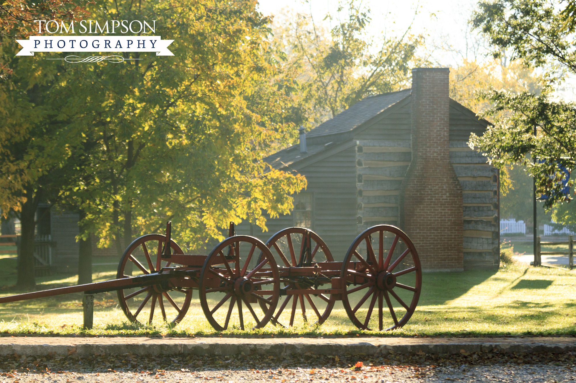
Seventies Hall in Historic Nauvoo
About Historic Nauvoo
In a brief 7-year span from 1839-1846, Nauvoo grew from a mosquito-infested swamp to a burgeoning town of close to 20,000. During this time, Nauvoo was the headquarters for the Church of Jesus Christ of Latter-day Saints.
Economic, religious, and political conflict, along with the murder of the church’s leader in 1844, compelled the body of the Church to move westward, settling in the valley of the Great Salt Lake.
Due to great interest in the 1960’s, “Nauvoo Restoration, Inc.” was born for the purpose of rebuilding the historic town. Since that time, over 30 renovated or rebuilt sites have been completed using 1840’s style of construction. Visitors are now able to stroll the streets of Historic Nauvoo and experience the daily life of days gone by.
Wanting more ideas on relaxing, playing or learning?
Check out our "Things to Do" page for other Worthy Detour stops.