A Drive Filled with Breathtaking Scenes
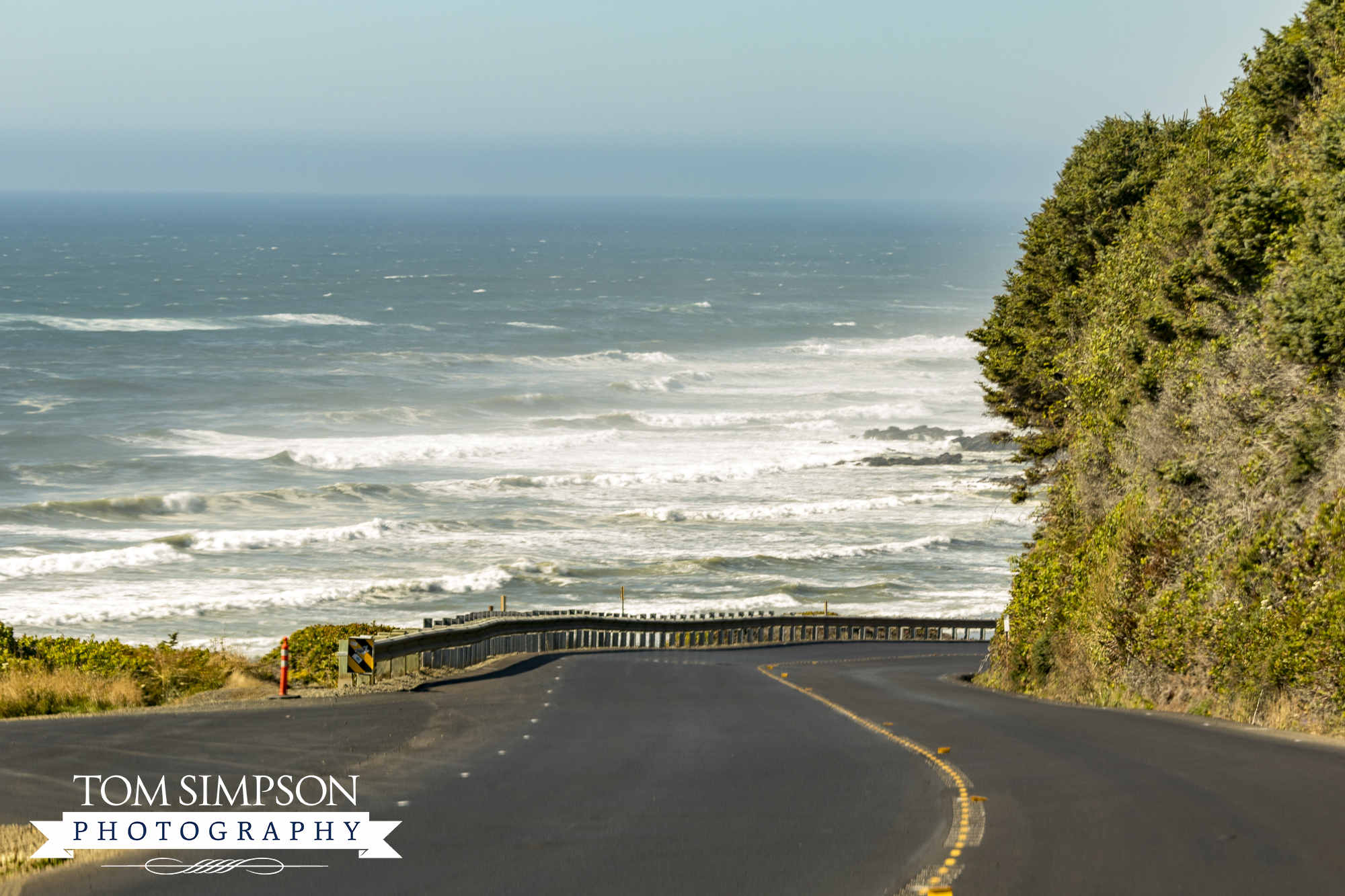
Have you ever taken a drive on the Oregon Coast Highway? If you want to experience breathtaking scenes unfolding one after another, this is the drive to take.
My 1st ever trip to Oregon included crossing the state’s central farming region, then reaching the mountains at Roseburg. After a few days there, we decided a drive up the coast was a must. So very glad we did too!
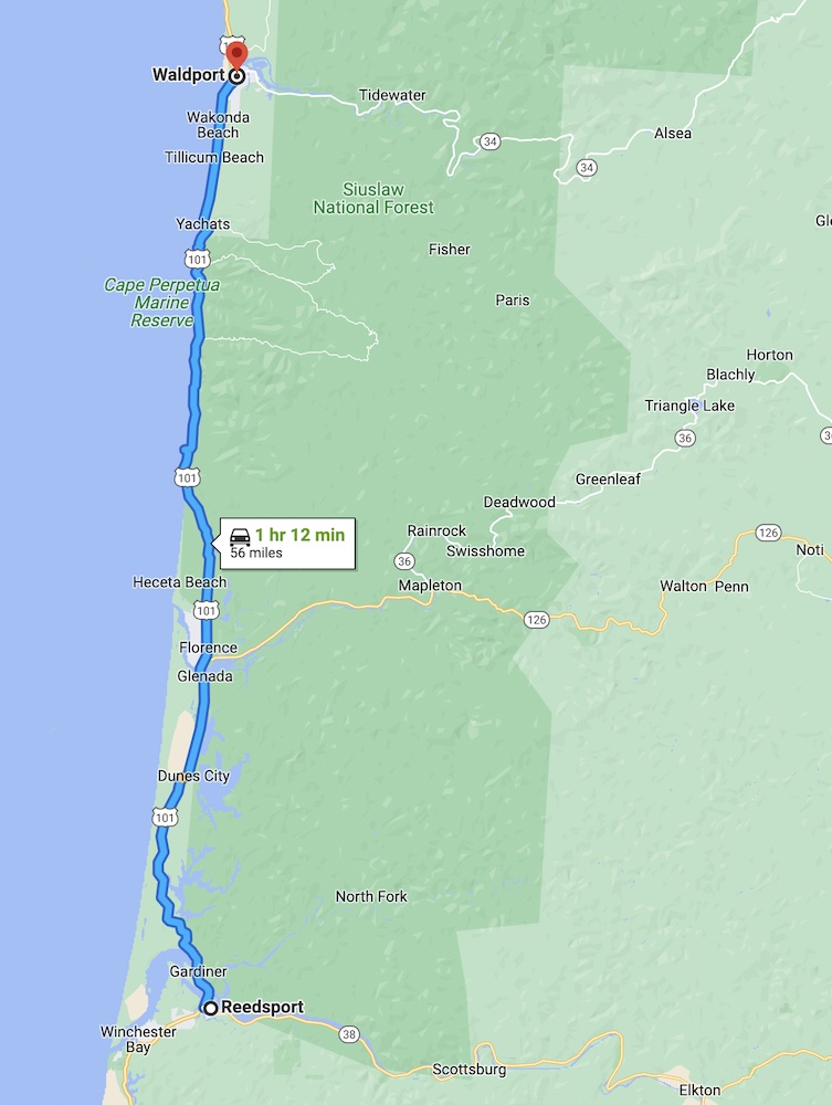
We drove to Reedsport and headed north from there, ending our day-long 56-mile trek at Walport. From all we saw, we think the south-to-north route is the best.
Our unplanned trip included the following seven notable stops: (Watch for more about each stop in additional posts—coming soon!)
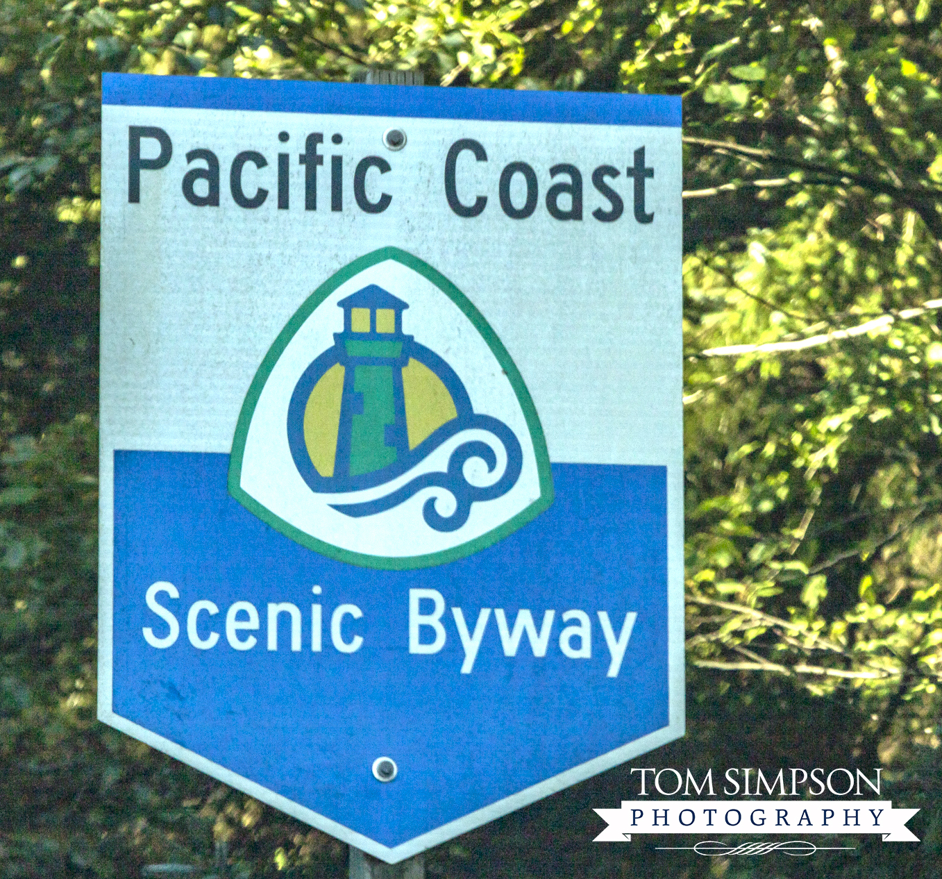
Sign showing one of three names for US-101 Highway. In this state it's called the Oregon Coast Highway.
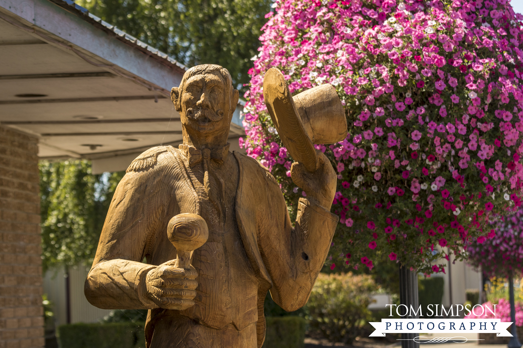
Reedsport has awesome scenes of voluminous flowers and carved wood statues along Fir Street.
Stop # 1 - Reedsport
The very charming and moderately touristy town of Reedsport was our 1st stop. We were ready to stretch our legs at this point, so we decided to take a closer look.
Basket after basket of hot pink petunias greeted us as we strolled along Fir Street (aka Umpqua Highway). During our walk, we noted several life-size carved wood statues like the one in the photo above.
We checked out a few antique shops during our brief stop then headed out.
*Connects to US-101, Mile Marker 211
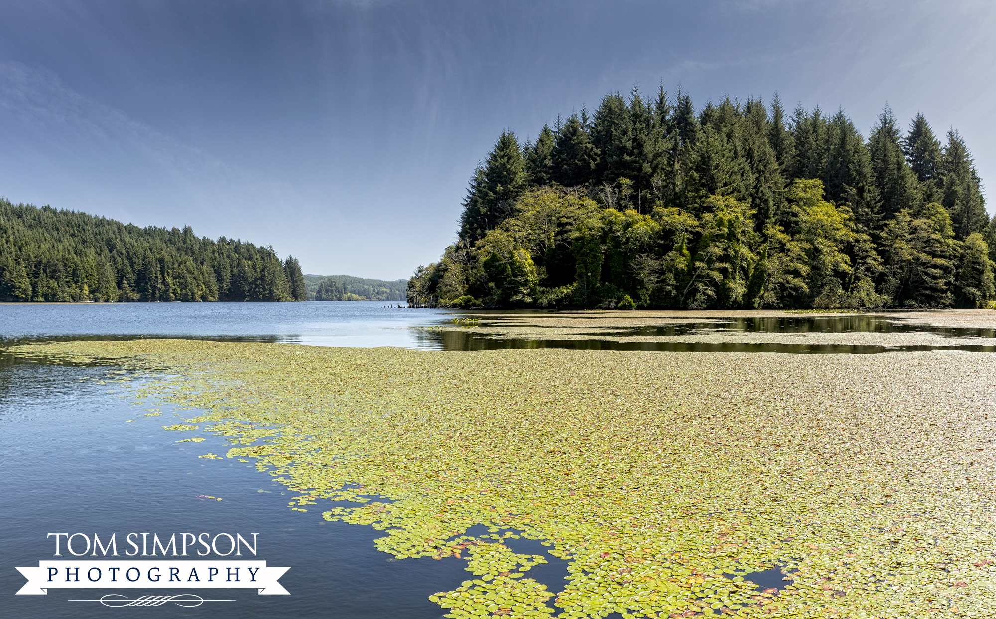
Tahknetich Lake....stunning, just stunning. One of my favorite Oregon scenes.
Stop # 2 - Tahkenitch Lake
For our next stop, we passed by and then doubled back. It was just too stunning a view to miss. Just glance at the photo above and you’ll see why we stopped.
If you’re looking at an Oregon map, it’s called Tahkenitch Landing Campground, located 8-miles north of Reedsport. The turnout butts up against the Tahkenitch Lake, which is mostly bounded by forested banks.
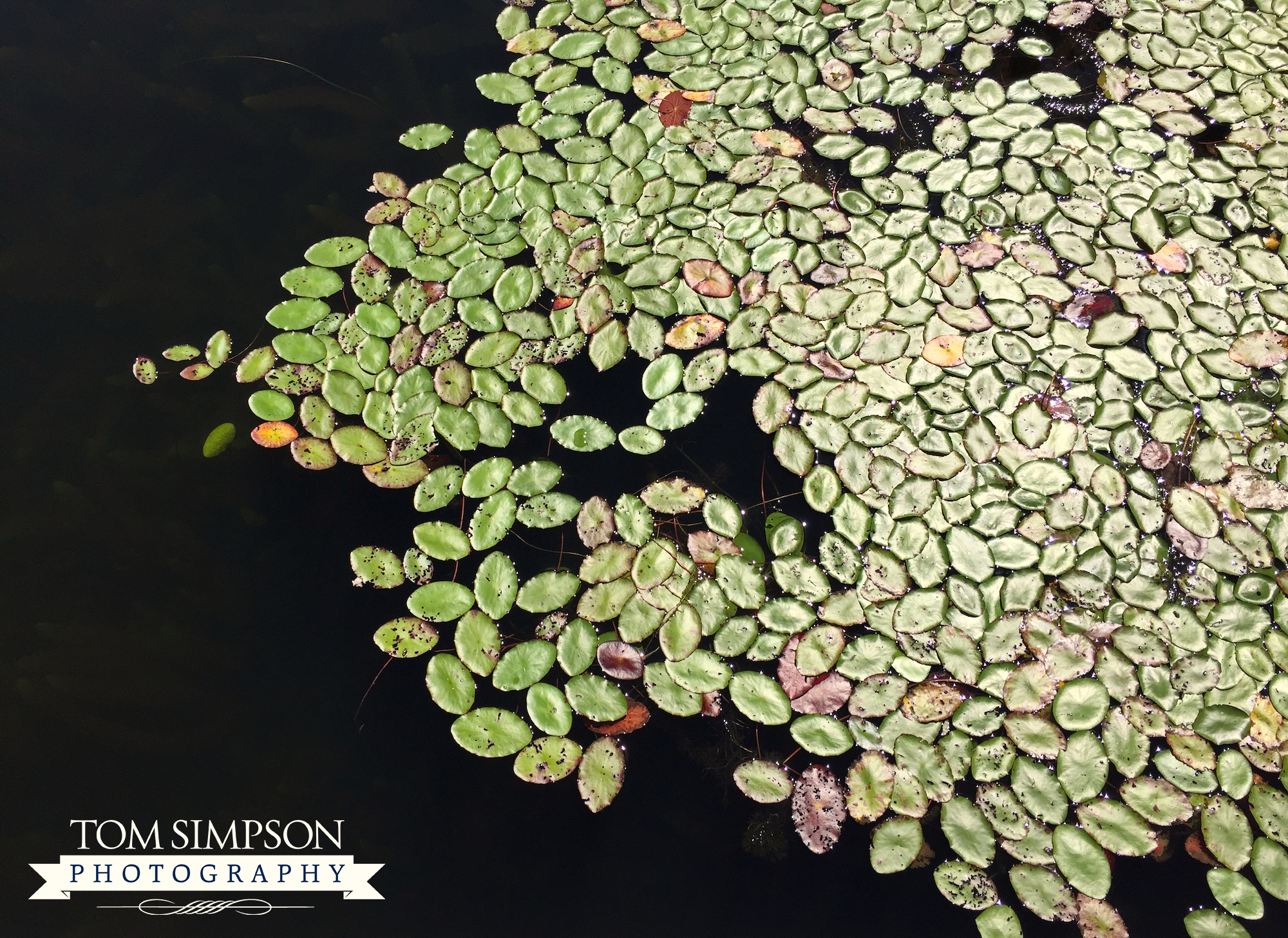
I snapped this beautiful shot standing on the boat dock jutting out into the lake.
The 2,118-acre lake is home to boating, swimming, and fishing. Although less developed than other area lakes, it is also less crowded.
*Location: US-101, Mile Marker 203
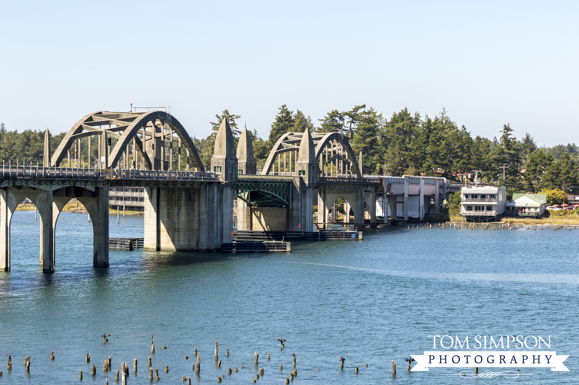
Siuslaw River bridge leading into the town of Florence.
Stop #3 - Florence
We made our 3rd stop just before crossing the river into Florence. The Siuslaw River Bridge (promounced “sigh-OO-slaw”) caught our eye, so we pulled over for a better look. (Also, there was a car burning on the road that held up traffic a bit.)
The bridge, built in 1936, is a Bascule bridge. This type bridge allows large vessels to pass beneath via hinged sections that raise when needed. It was added to the National Register of Historic Places in 2005.
*Location: US-101, Mile Marker 190
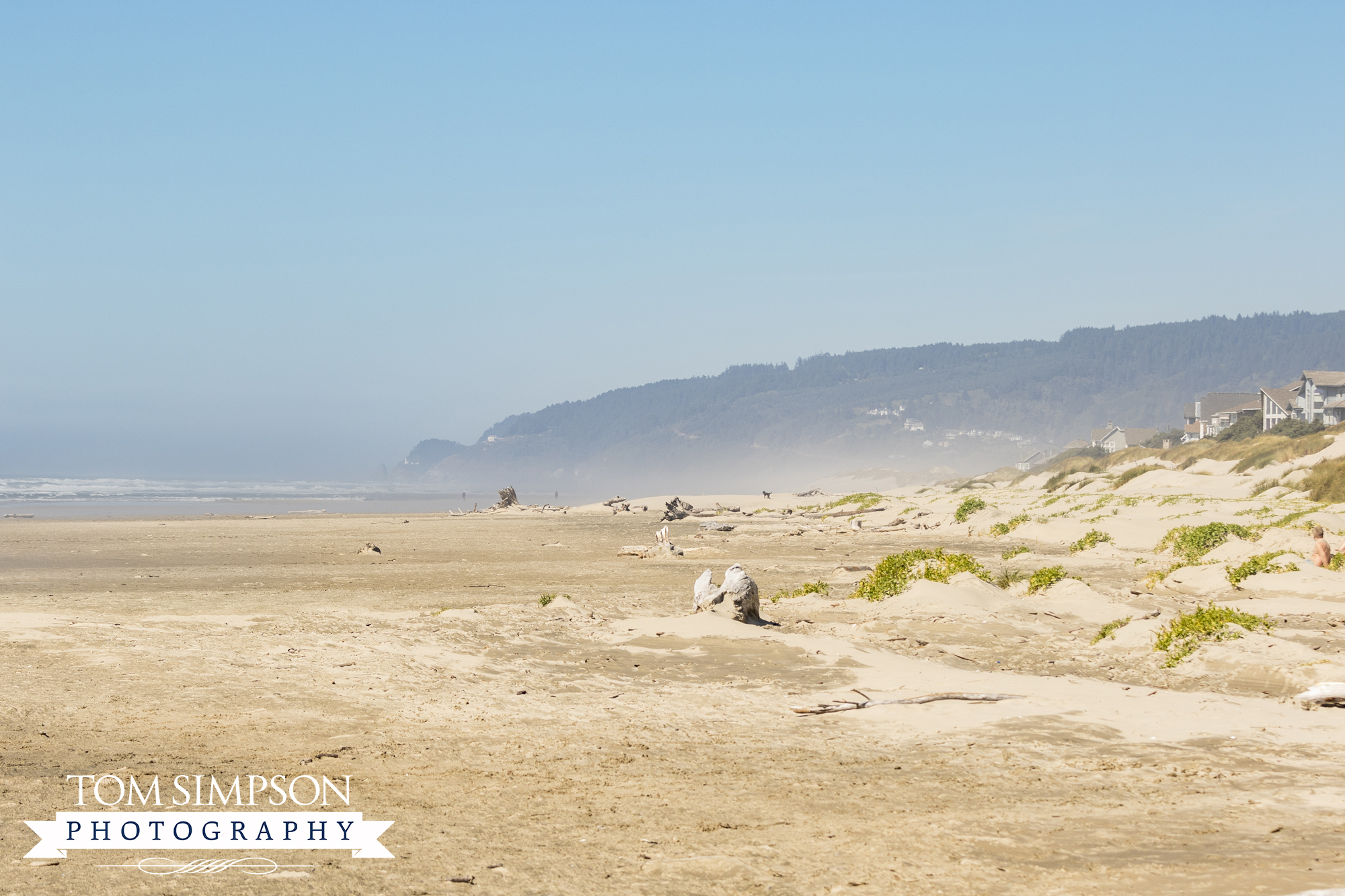
Heceta Beach in Florence looking north.
Stop #4 - Heceta Beach
It had been years since I stepped on a Pacific Coast beach. When we saw the signs to Heceta Beach, we quickly took the 2-mile detour off US-101. The beach is on the north end of Florence, via Heceta Beach Road.
After paying our $4 parking fee (north parking lot; south parking is free), we made our way past the dunes to the beach. A stiff wind and hazy mist met us as we reached the huge, sandy expanse.
It was mid-August and it was cold! Everyone around us was wearing jackets. Unprepared for wind and cold, we stayed long enough to snap a few photos then headed out to stop #5.
*Location: US-101, Mile Marker 187
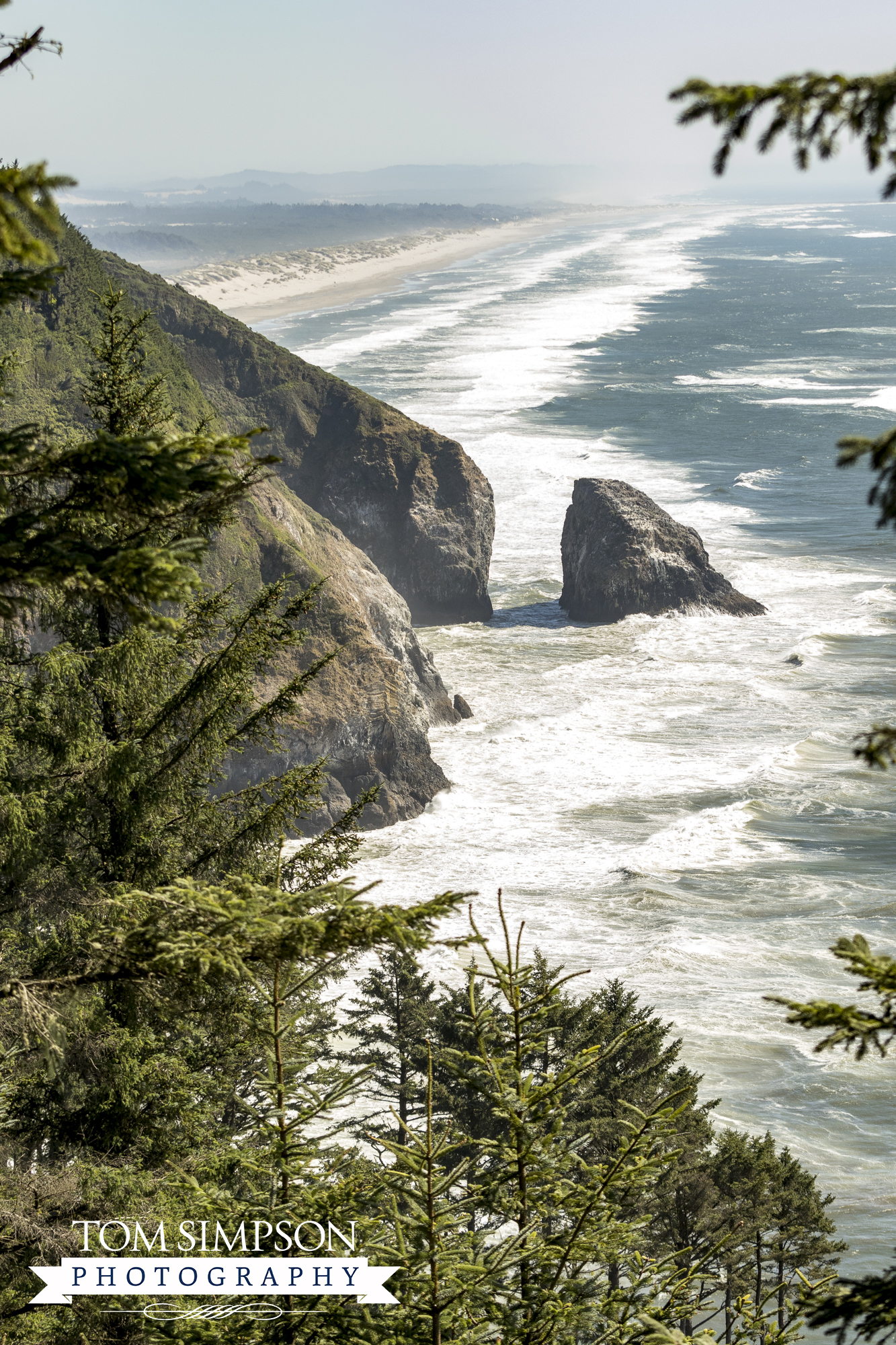
View of Cox Rock near Sea Lion Cave overlook.
Stop #5 - Sea Lion Caves Overlook
Our 5th stop, 8-miles up the road, is such a big tourist draw that it has 3 different parking areas. It is Sea Lion Caves.
Sea Lion Caves is the ultimate spot to view the marine mammals lounging in their natural habitat. (Something for our next west coast trip!)
We pulled over to snap a few photos from atop the craggy shore. Didn’t see any pinnipeds but we did see birds covering the rocks.
The 1st turnout (just ¼-mile south of the caves), we found this breathtaking scene. The single, yet iconic rock formation is Cox Rock. Stunning.
*Location: US-101, Mile Marker 179
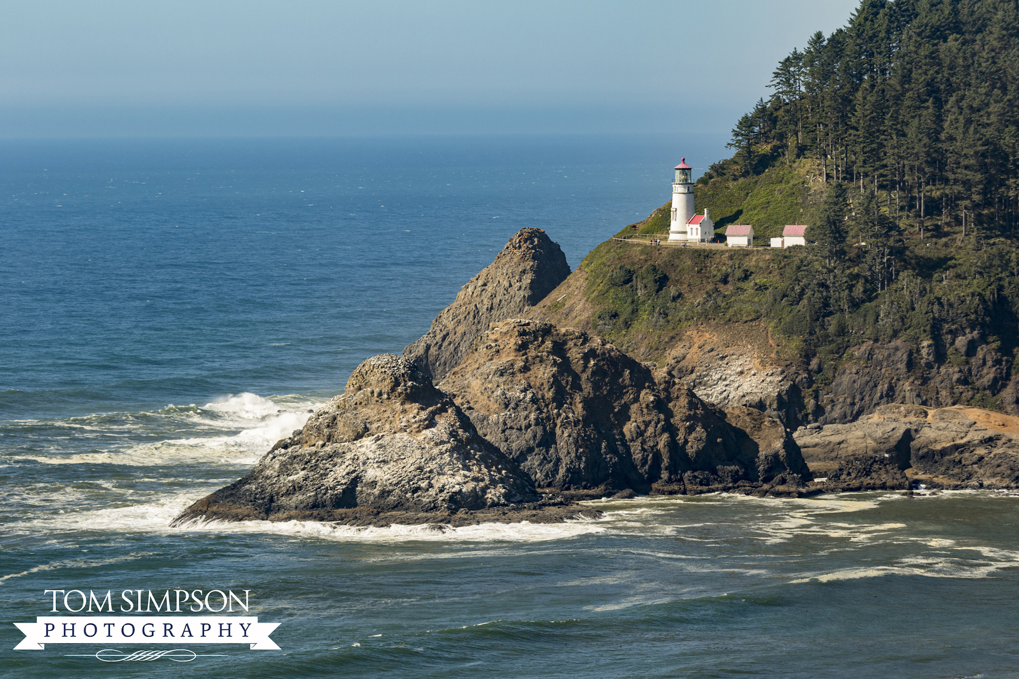
Heceta Head Lighthouse overlooking the Pacific Ocean.
Stop #6 - Heceta Head Lighthouse
Around the bend and another ¼-mile up the road is another turnout and our 6th stop. Here you get a jaw-dropping view of Oregon’s most photographed lighthouse. Heceta Head Lighthouse is 1-of-11 remaining along the coast.
At the same overlook, you see the striking contrast between craggy rocks and pristine beach, all bounded by dense evergreen forest. (Watch for more about this stop in a future post.)
*Location: US-101, Mile Marker 178
Stop #7 - Cape Perpetua
Our last, and 7th stop, was at Cape Perpetua, about 12-miles up the road. Its location is a short 2-miles south of Yachats, Oregon (pronounced “YAH-hots”).
This is THE place to see the ocean’s fearsome power and dazzling beauty at the same time.
We walked Captain Cook Trail to an overlook above the rugged shore. Here I watched waves crashing while Tom went a little further down to capture more of the action from sea level.
*Location: US-101, Mile Marker 167
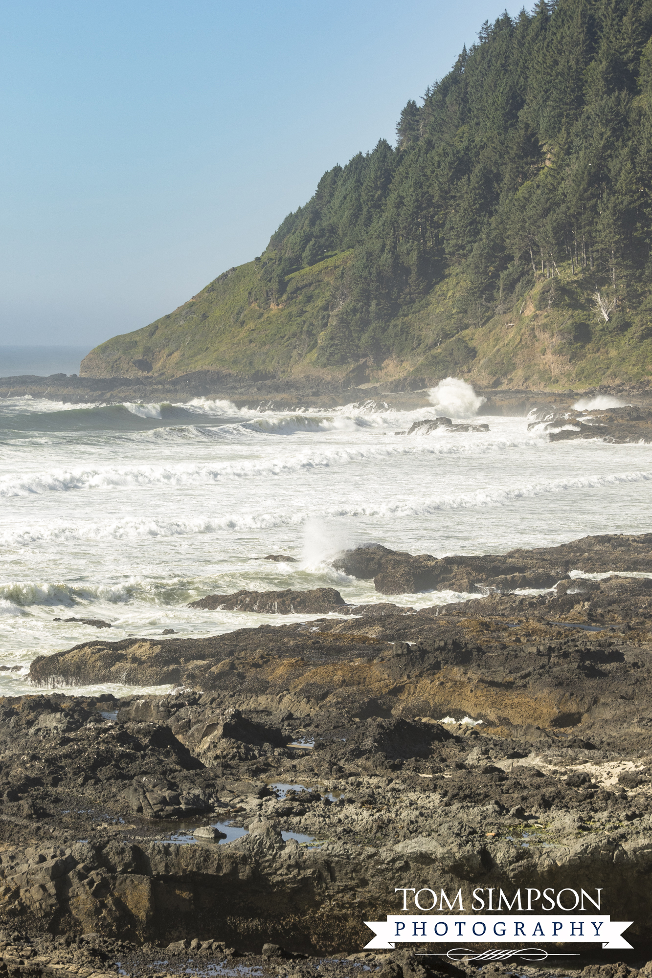
The rugged coast of Cape Perpetua.
For Breathtaking Coastal Scenes, this is the Place
It was hard to turn off US-101 and head back toward home. The breathtaking scenes found as we journeyed between destinations left us wanting more.
Our advice to you? Take more than a day to see the Oregon Coast. Pull over at every roadside turnout and allow plenty of time to stop, observe, and take it all in.
Be prepared to slow down. This is the place to enjoy panoramic views. Make it memorable.
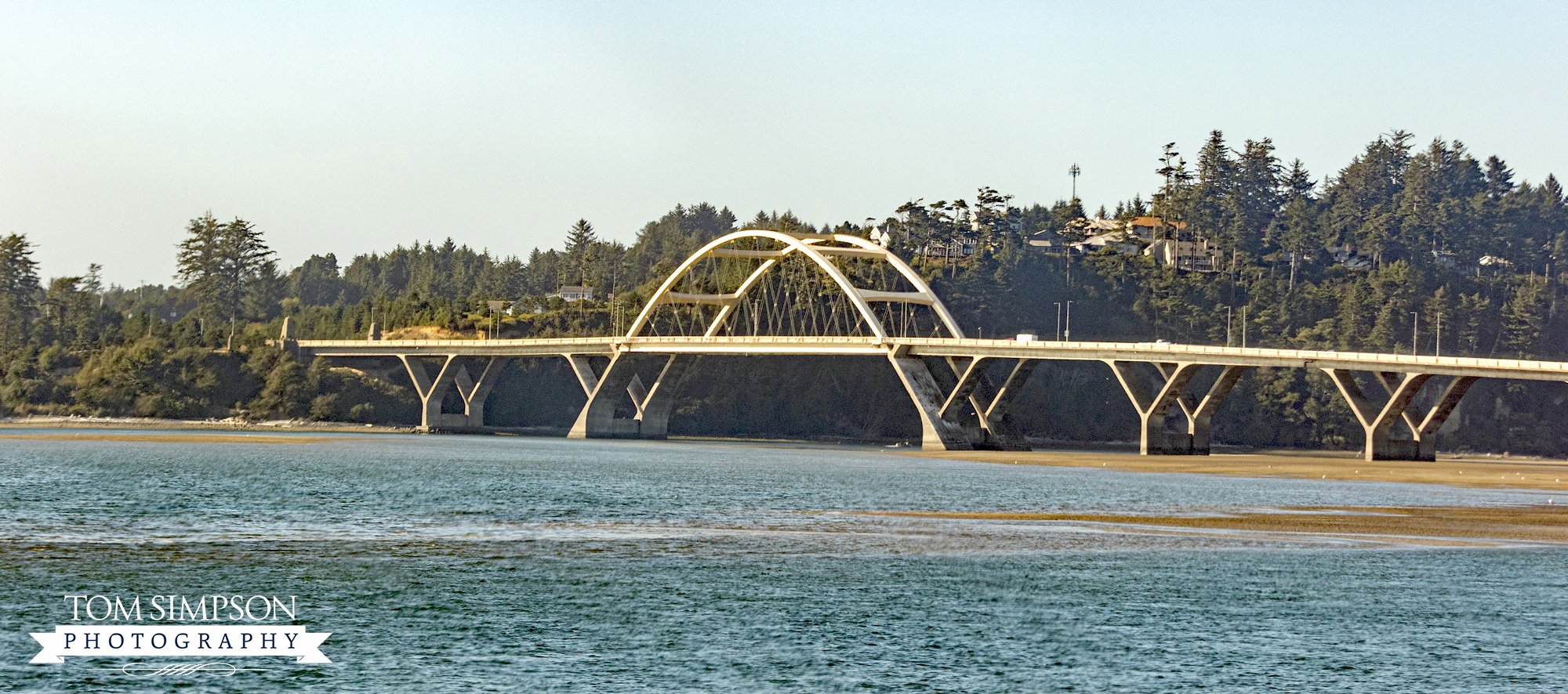
Alsea River Bridge at Walport, Oregon and our last view of the Oregon Coast Highway. (*Location: US-101, Mile Marker 155)
About the Oregon Coast Highway
- Officially became US-101 in 1926
- Runs 363 miles, parallel to the Pacific coast
- Two-lane road most of the way
- Main route for exploring Oregon’s coast
- Links coastal communities together
- Maximum posted speed is 55 mph; actual speed 50 mph or less
- Also known as the Pacific Coast Highway running through California, Oregon, and Washington
- Considered a National Scenic Byway and a Top 20 All-American Road
Looking for more small towns and areas to explore?
Check out our "Destinations" page for other Worthy Detour stops.

