THE Place to Watch the Ocean
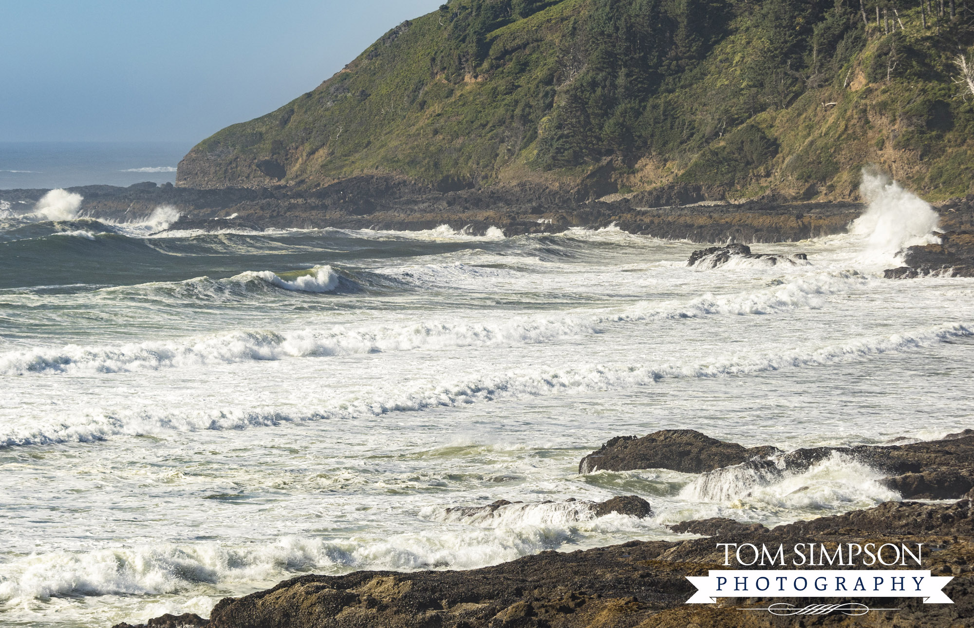
The last and 7th stop on our one-day Oregon Coast Highway drive was at the Cape Perpetua Scenic Area. It is THE place to watch the ocean while observing its fearsome power and dazzling beauty at the same time.
Roughly 2-miles south of Yachats (pronounced “YAH-hots”), Cape Perpetua is the highest viewpoint accessible by car on the Oregon coast. The scenic area is large, covering 2,700 acres.
We stopped at the 1st parking area on the southernmost section of the Cape. Here’s what we noticed during our short but totally amazing visit.
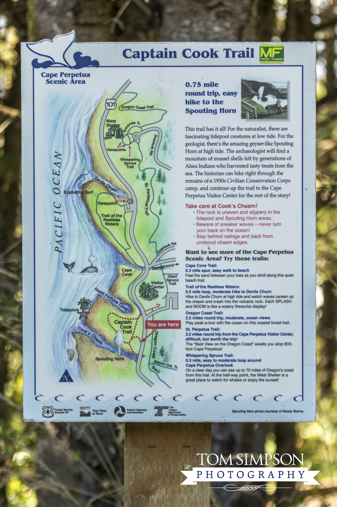
Captain Cook Trail Map on the south end of Cape Perpetua's Scenic Area
Location:
Mile marker 167
US Highway 101
Yachats, Oregon
Visitor's Center:
(541) 547-3289
Hours:
10 AM - 4 PM daily (summer)
10 AM - 4 PM Wed-Sun
(Labor Day to Memorial Day)
Parking:
$5 single day use
Website:
Cape Perpetua Visitor Center
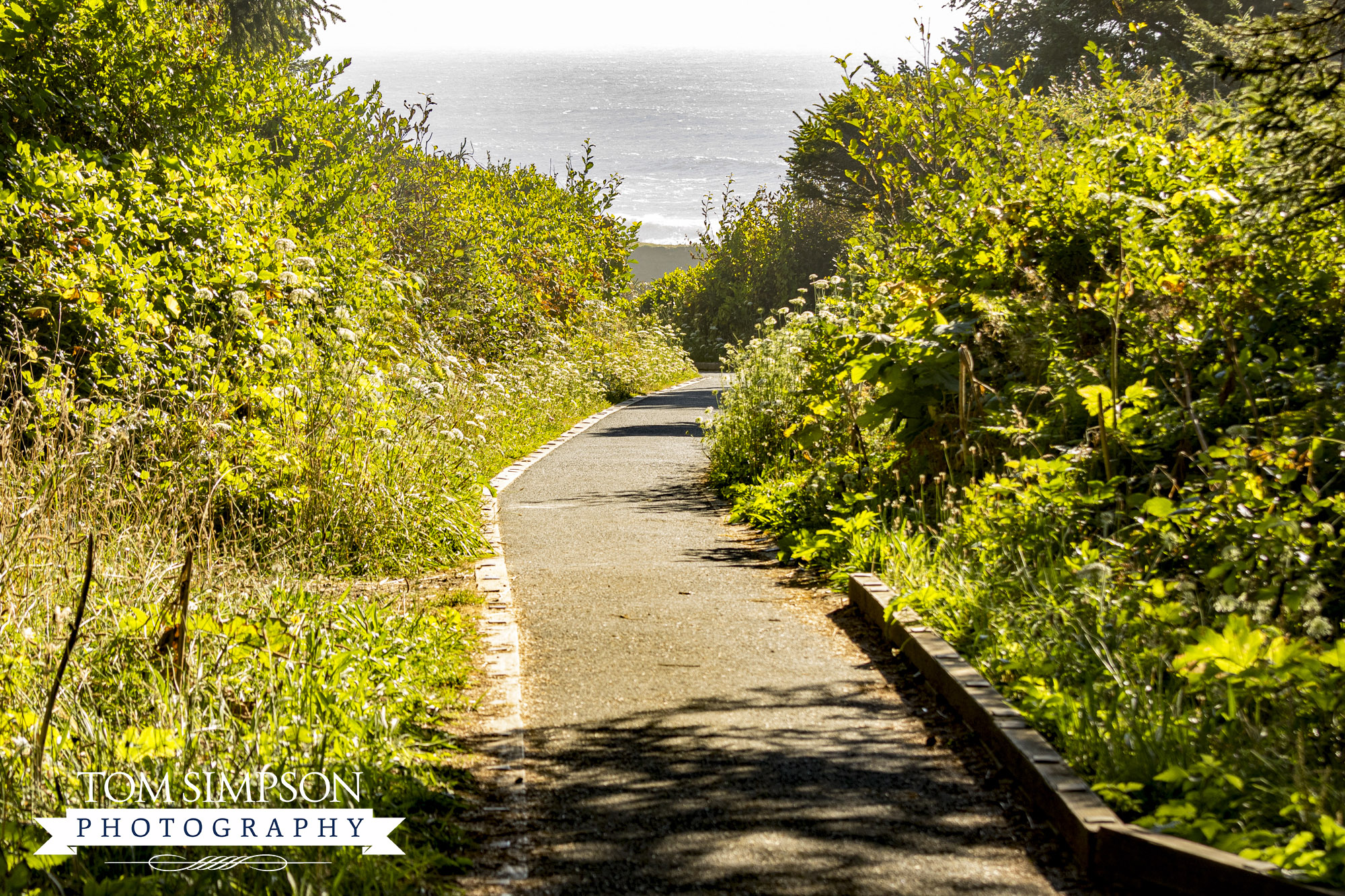
Native plants line both sides of the path leading to the Pacific Ocean.
Winding Through Captain Cook Trail
The first parking area (south end) is a walled overlook with a clear view of the ocean. At one end you can see the arched bridge over a deep chasm. The other end has a path to the paved Captain Cook Trail.
The winding 3/4-mile, round trip trail actually begins at the Visitor’s Center. The short section we walked was only 1/8-mile. It began in dense forest but quickly changed to wind chiseled foliage, moving from shade to full sun.
Once we reached the stone pillar and wrought iron viewpoint, we felt the full force of the wind blowing off the ocean.
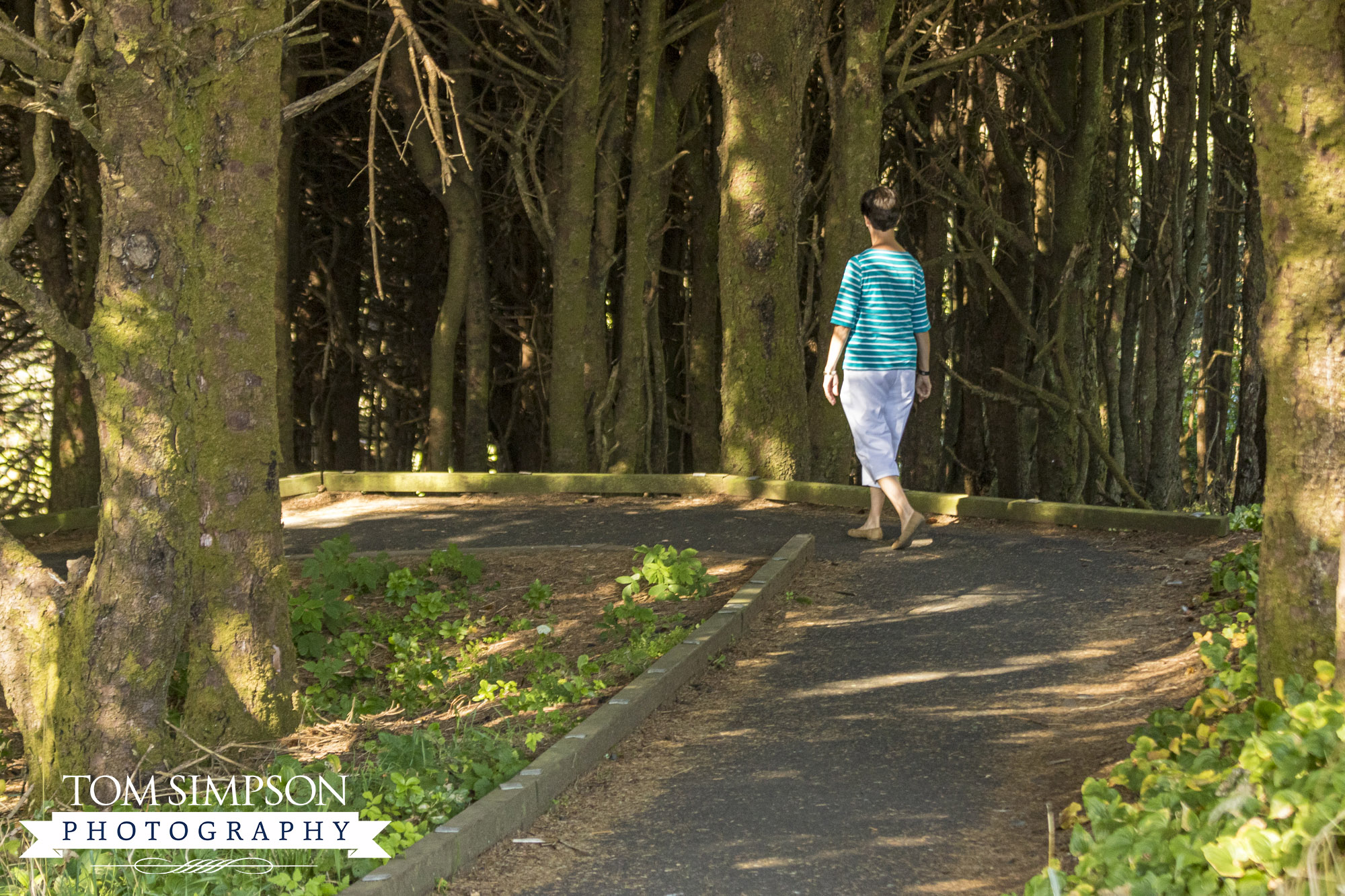
Part of the Captain Cook Trail passes through a densely forested section.
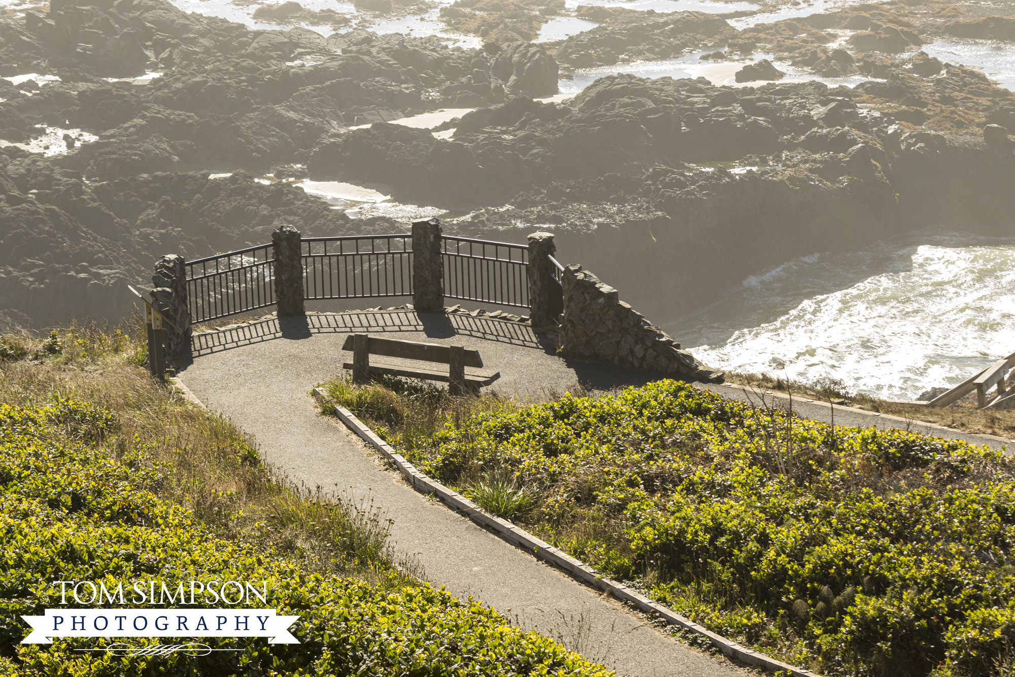
Overlook on Captain Cook Trail is 1/8-mile from the south parking area.
Just wanting to watch the waves and take in the surrounding view, I stopped at the overlook. Behind me was a towering Sitka Spruce forest. In front was the expansive Pacific Ocean. Between the two was a very rugged shore with crashing waves as far as the eye could see.
While I marveled at the power of water, Tom continued down the trail toward the beach. His goal was capturing the action closer to sea level.
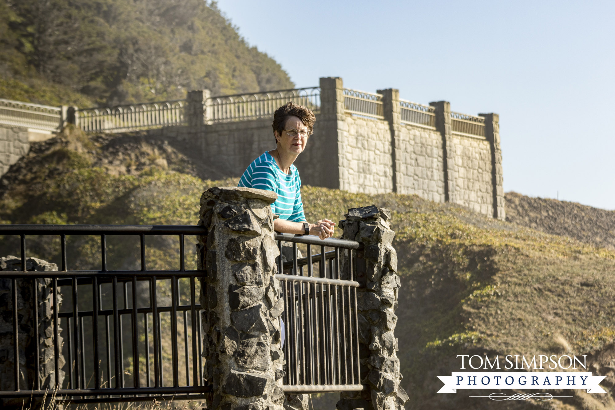
My stopping point on the trail and a place with stunning views from all angles.
2,700 acres of
coastal habitat
including tide pools
Highest viewpoint
accessible by car
on the Oregon Coast
13 great hiking trails,
26-mile trail system, part of
the Siuslaw National Forest
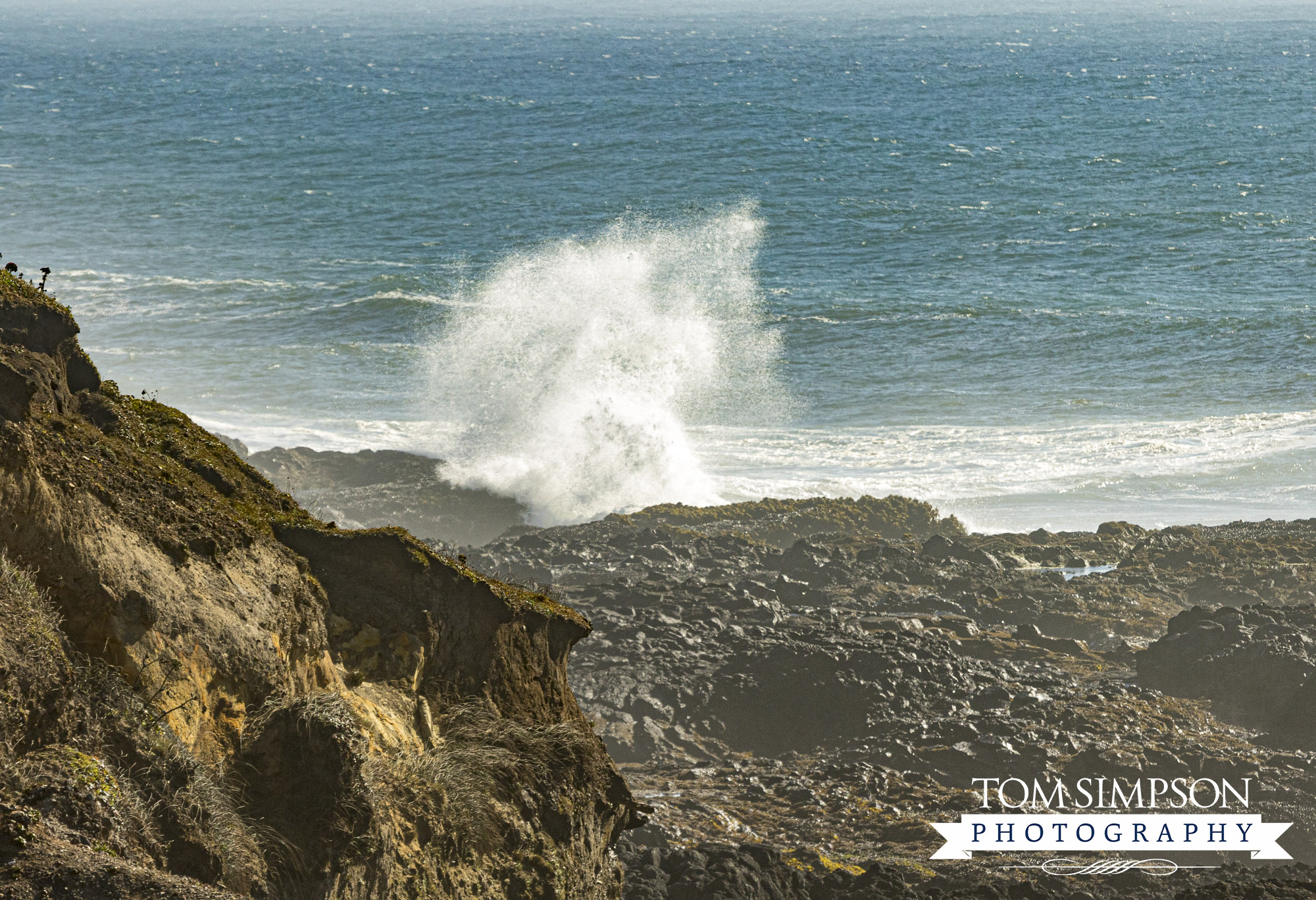
Ocean spray height was spectacular!
Perfect Place to Watch the Ocean
Cape Perpetua is the western most point of the Oregon Coast. This remarkable area is home to both frothy surf and explosive waves seen for miles along the shoreline.
Two famous water features are in this part of Cape Perpetua. Thor’s Well, known as the “drainpipe of the Pacific,” is a hole in the basalt rock that appears to drain water from the ocean.
Spouting Horn is a natural ocean geyser seen during incoming tide. Waves funneled into a cave burst through a volcanic rock hole spraying water high into the air.
*FYI….be VERY cautious if you get down on the rocks during high tide. Sneaker waves are common and have pulled unsuspecting wave watchers into the ocean.
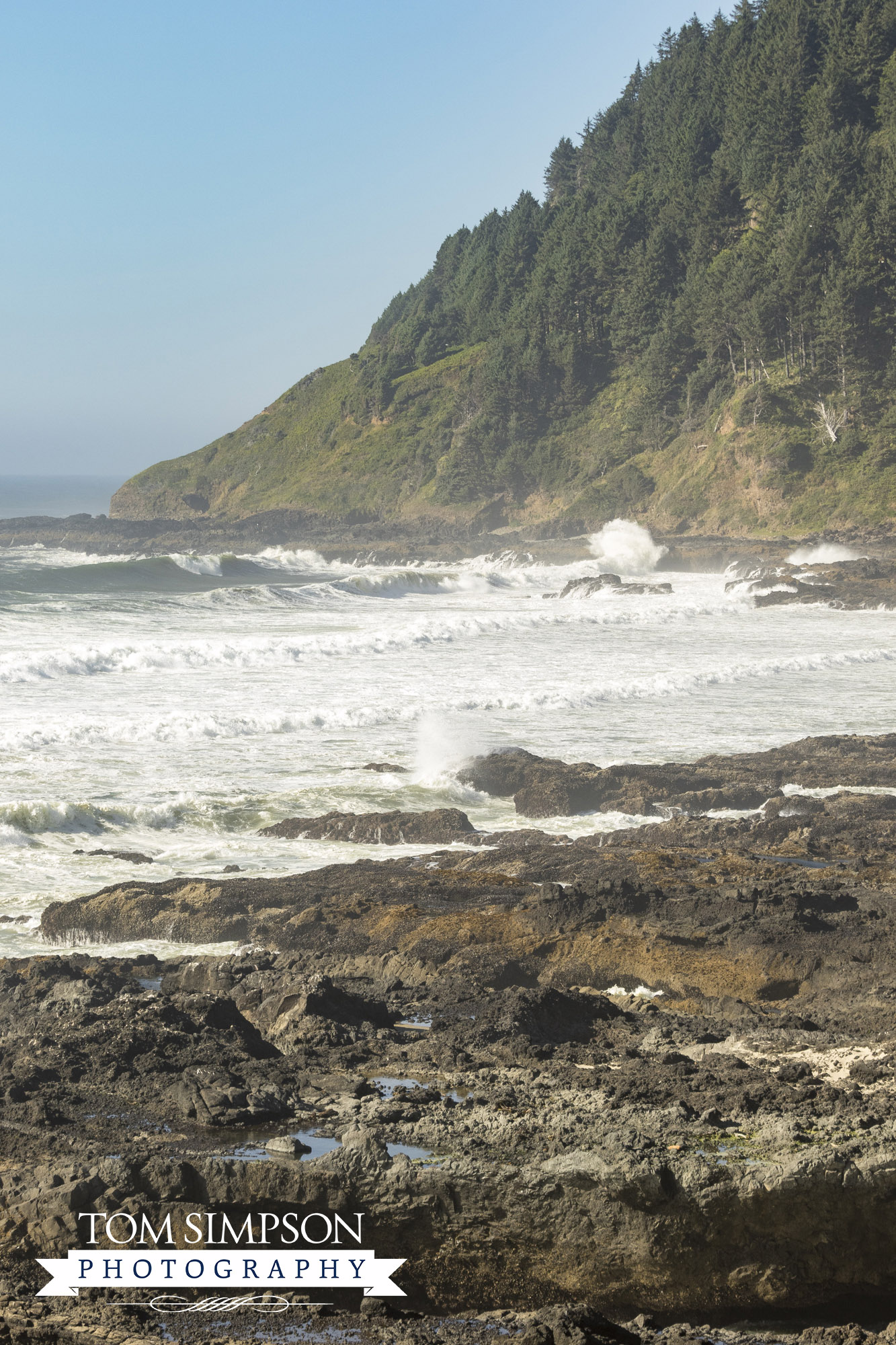
One of the close-up shots Tom took further down the trail.
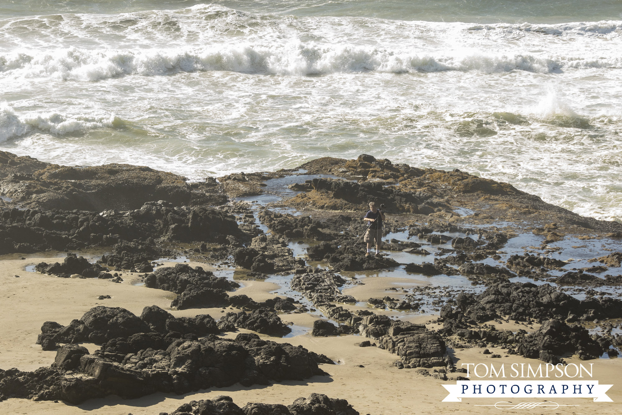
Spotted another photographer with a tripod standing on the rocky shoreline.
A Good Place to Spend the Day
Cape Perpetua is not only a good place to watch the ocean, it's a good place to spend the day. There is much to see and do, especially if you love hiking. Trail difficulty ranges from easy to moderate to difficult. Some trails are wheelchair accessible and are noted in the park brochure.
The Visitor’s Center has exhibits and a variety of short movies along with a clear ocean view from inside and an outside deck. It is open daily with reduced winter hours.
Even though our stop was quick, seeing where a rainforest-like area meets the ocean was definitely worth the time spent.
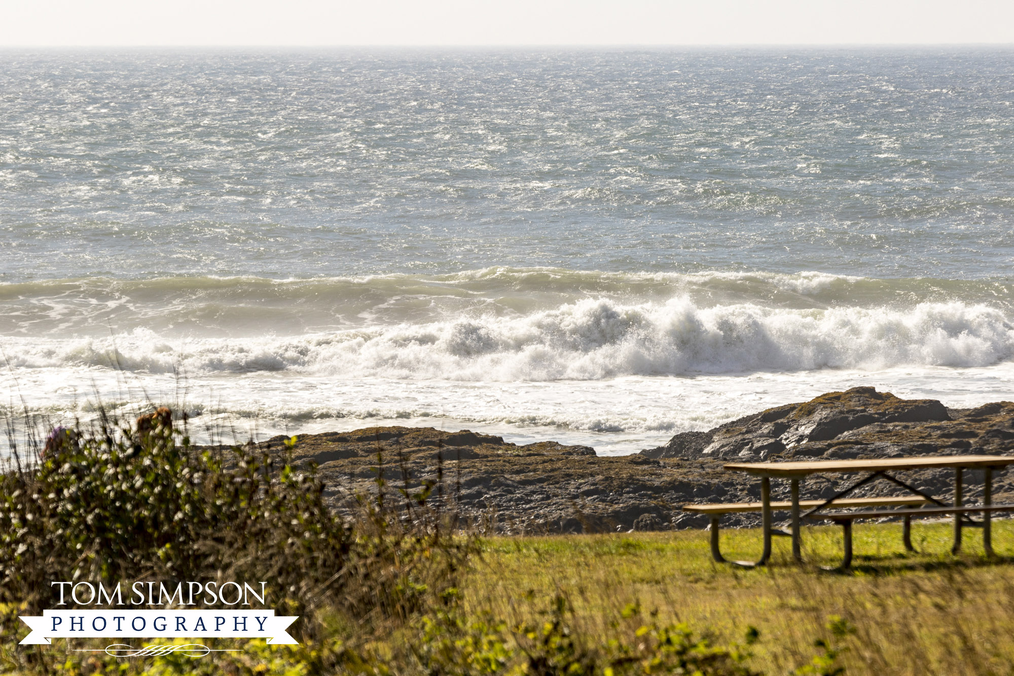
Ancient volcanic rock on the Oregon coast at Cape Perpetua.
About Cape Perpetua Scenic Area
- The area is an 800-foot high dramatic basaltic headland created from ancient volcanic rock.
- Once called “Halaqaik” by the Alsea people who inhabited the area thousands of years ago.
- 1778 – Captain James Cook viewed the headland from the sea, naming it in honor of Saint Perpetua.
- 1908 – Cape Perpetua became part of the Siuslaw National Forest
- 1914 – wagon road chiseled out of the cliff
- 1926 – steel bridge replaced wooden bridge
- 1930’s – US Highway 101 built through the area
- 1933 – Civilian Conservation Corps constructed many of the trails, picnic shelter, and campground now in use.
- 1960’s – Visitor Center built to highlight uniqueness of the area
- 1989 – Cape Perpetua Shelter and Parapet listed on the National Register of Historic Places
- 2007 – 600-year-old Sitka Spruce designated an Oregon Heritage Tree by the state
Wanting more ideas on relaxing, playing or learning?
Check out our "Things to Do" page for other Worthy Detour stops.

